




Wumara Group Residential Survey
LAND SURVEYORS DO WHAT?
Land surveyors measure and map land boundaries, providing essential data for property ownership, development, and construction. They also assess topographical features, ensuring compliance with legal, zoning, and safety requirements while minimising risks in development projects.

Purchasing a property

Identification Survey

Planning to build / rebuild your home

Detail Feature & Level Survey
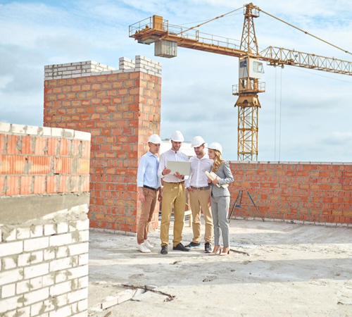
Ready to build

Marking new building location
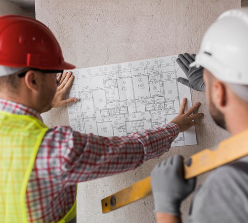
Peg Out (Boundary Marking)

Final Occupation Certificate
SERVICE BEYOND BOUNDARIES
Contact us today, we’d love to hear from you
PROJECT SHOWCASE

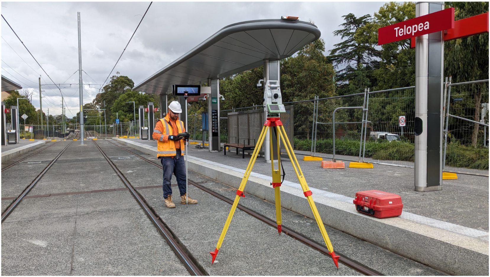
CAF – Parramatta Light Rail Stage 1
Project Overview: Wumara Group supported the delivery of Parramatta Light Rail Stage 1 through our engagement with CAF Rail Australia,...
Read More >>
Sydney Water – Pipeline and Reservoir Project
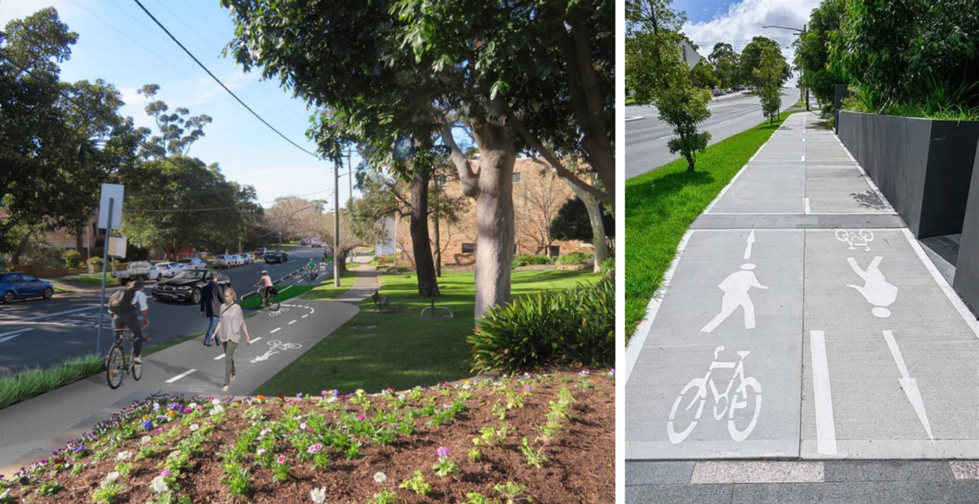
Project Overview: Wumara Group was engaged by CMP Consulting to provide topographic surveying and subsurface utility locating services for a...
Read More >>Essential Energy – Electricity Network Upgrades
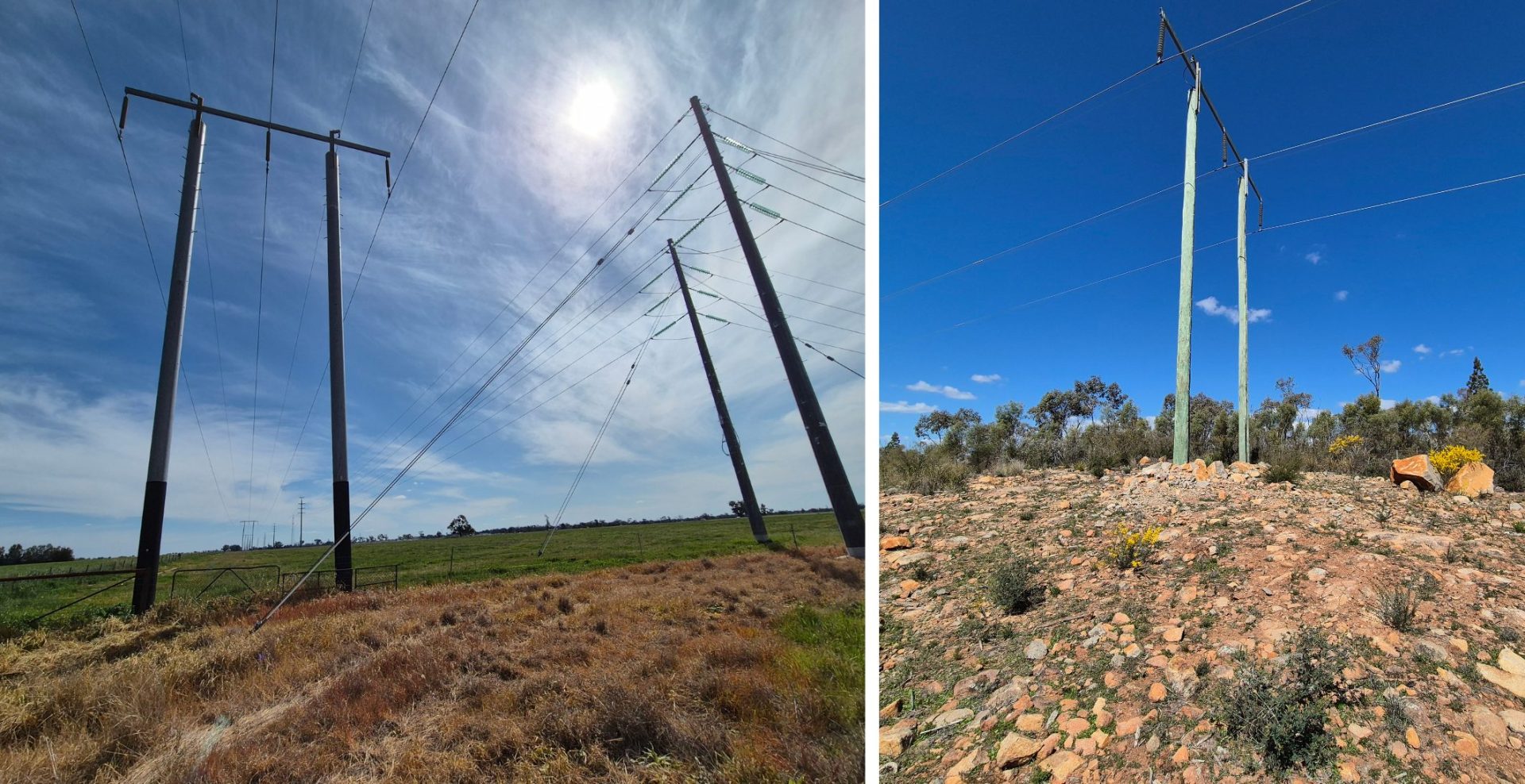
Project Overview: Wumara Group has been working closely with Essential Energy, providing cadastral surveying services to support upgrades to its...
Read More >>GHD – Sutherland to Cronulla Rail Corridor Survey
Project Overview: Wumara Group was engaged by GHD to deliver a high-accuracy spatial survey along a 7km section of rail...
Read More >>AECOM – Subsurface Surveying
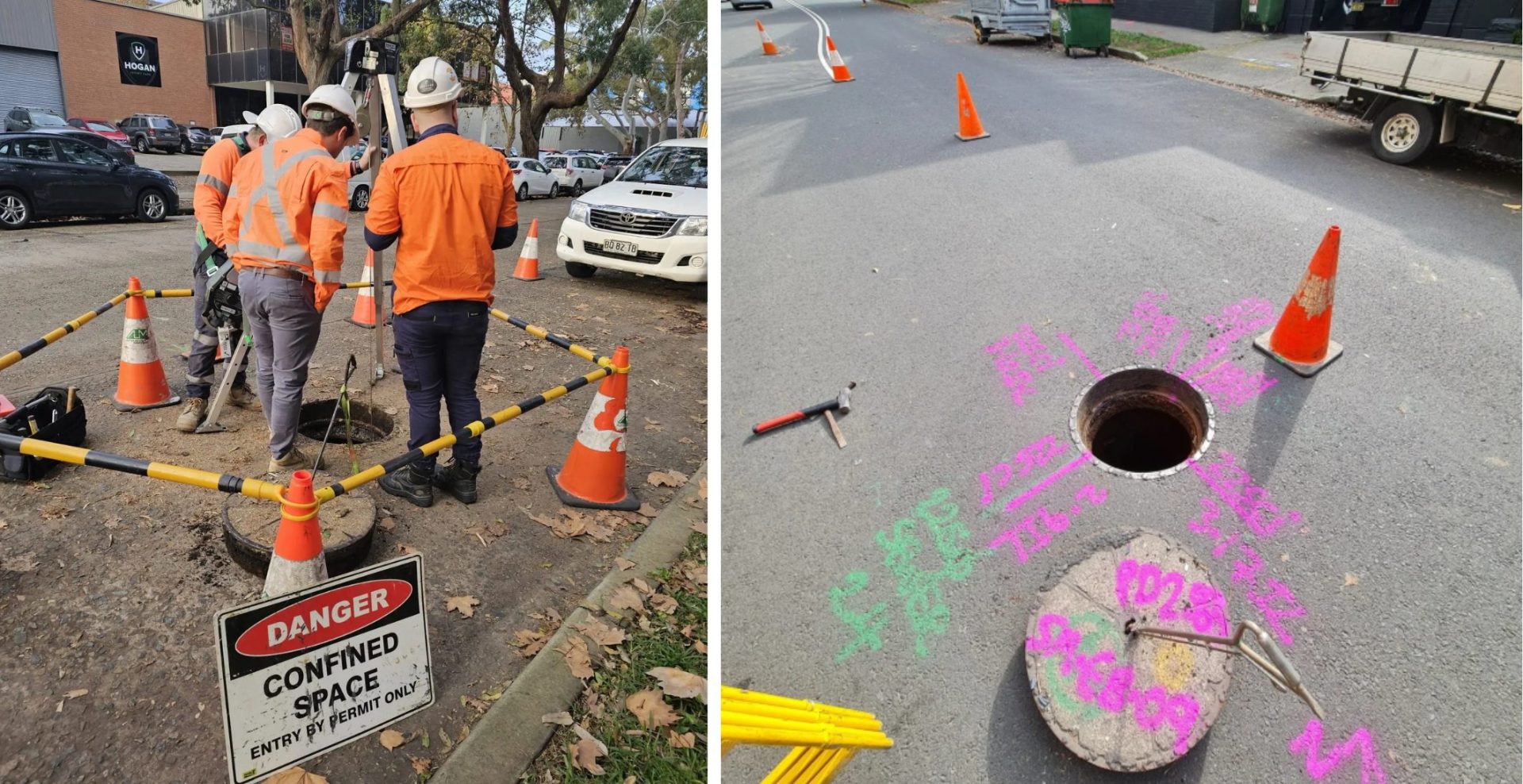
Project Overview: Wumara Group collaborated with AECOM and Sydney Civil to deliver advanced subsurface surveying across multiple sites within the...
Read More >>GHD – Jubilee Stadium
Project Overview: Wumara Group was part of the successful GHD-led consortium awarded the tender for the Georges River Council’s Plan...
Read More >>
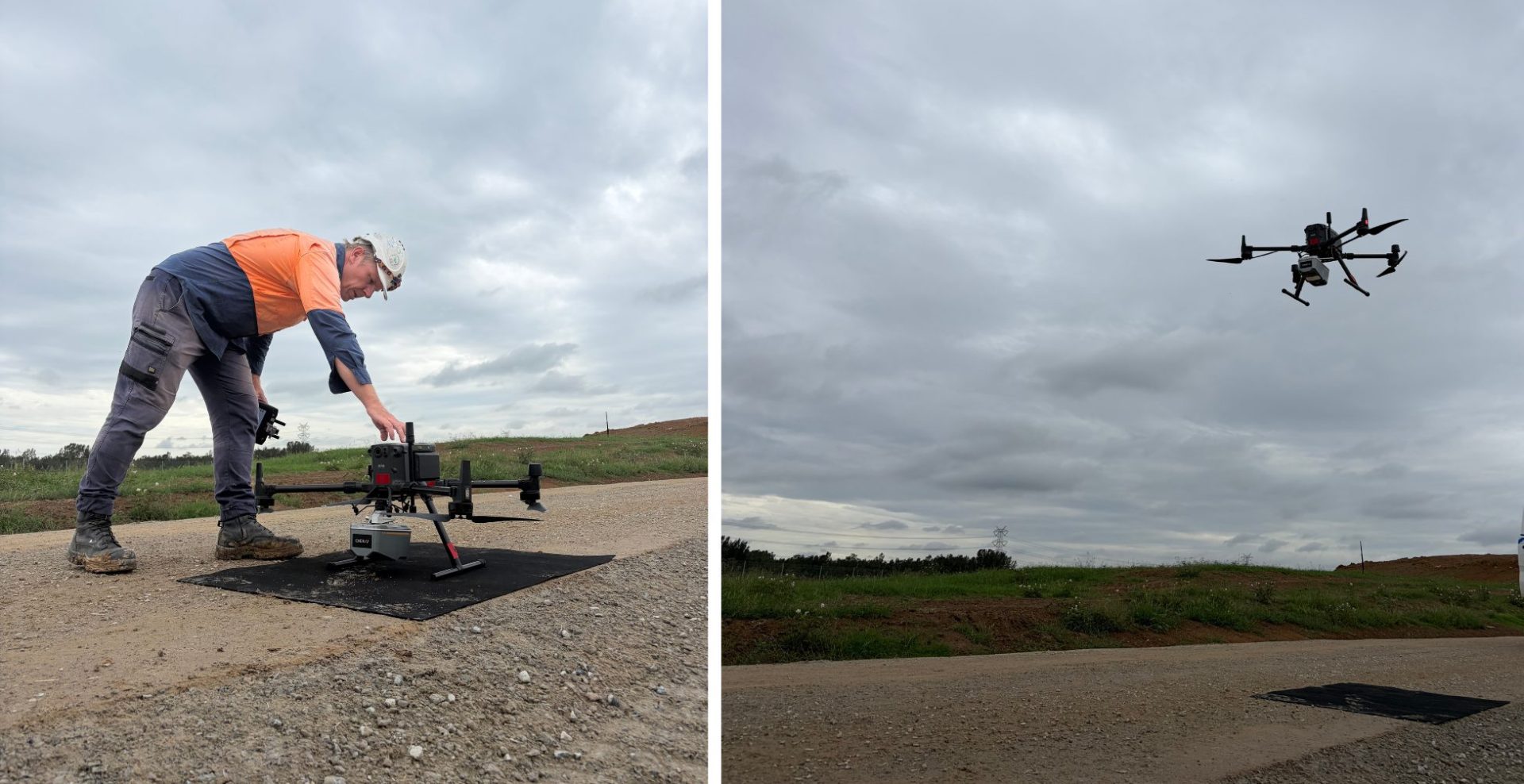
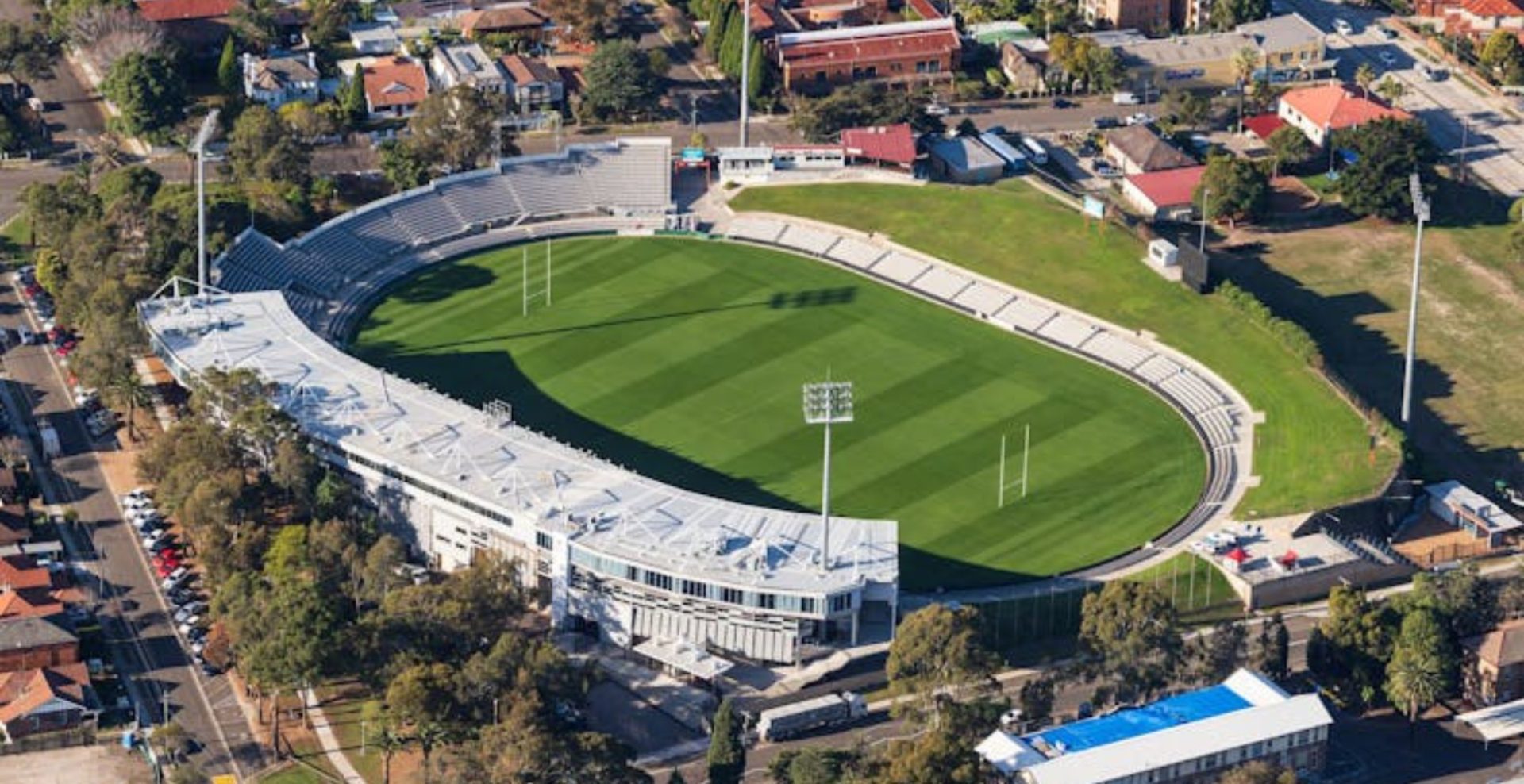
GHD – Jubilee Stadium
...AECOM – Subsurface Surveying
...GHD – Sutherland to Cronulla Rail Corridor Survey
...Essential Energy – Electricity Network Upgrades
...Sydney Water – Pipeline and Reservoir Project
...CAF – Parramatta Light Rail Stage 1
...Our Process
Four Simple Steps to Get Started
We keep things simple, delivering precision and efficiency every step of the way.

Make Appointment
Schedule a consultation with our team to discuss your project requirements and timelines.

We Check The Location
Our experts visit the site to assess the land and gather essential data for the survey.

Start Land Survey
We initiate the land survey using advanced equipment to deliver accurate and reliable results.

Survey Completed
Upon completion, we provide detailed reports and documentation for your records and decision-making.