Infrastructure

Wumara Group Infrastructure Survey
Wumara Group provides comprehensive infrastructure surveying services tailored to the needs of complex projects such as roads, rail, and utilities. With a focus on accuracy and efficiency, Wumara utilises advanced technologies to deliver precise data, ensuring clients can make informed decisions throughout the project lifecycle. From initial planning to construction and maintenance, their solutions offer reliable support across all stages of infrastructure development.
Infrastructure SURVEYORS DO WHAT?
Infrastructure surveyors are responsible for mapping and analysing land to support the planning, design, and construction of large-scale infrastructure projects. They provide accurate data to ensure that infrastructure is developed safely and efficiently.

Topographic surveys

As-built surveys

Geospatial analysis
SERVICE BEYOND BOUNDARIES
PROJECT SHOWCASE
CIS
Wumara serviced the telecommunications sector effectively by providing surveying services to CI International. The Project Wumara provides lease surveys for...
Read More >>City of Sydney Council
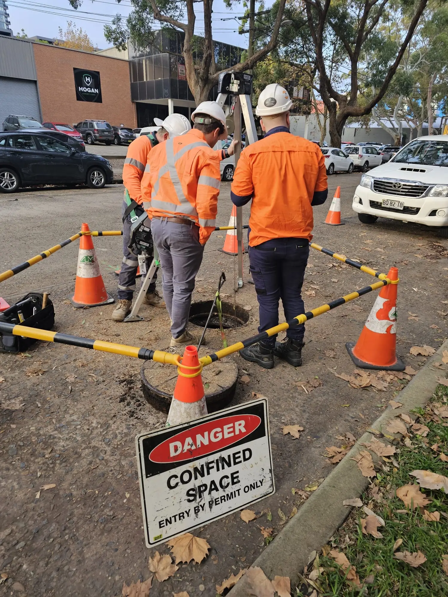
Wumara works across the City of Sydney LGA providing surveying and subsurface utility locating services. The Project Multiple parks and...
Read More >>Telstra
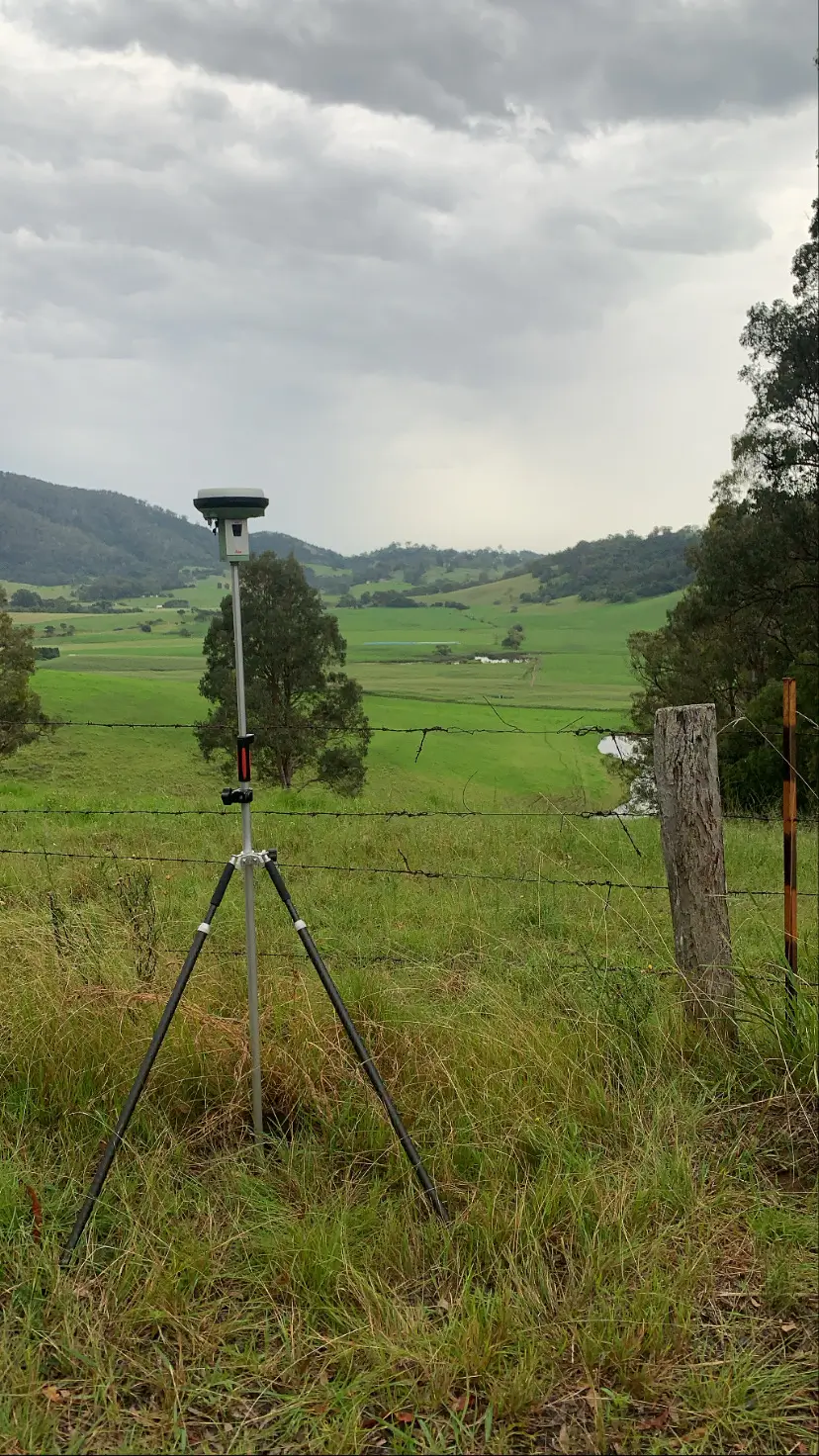
The Project Wumara performed multiple lease surveys on telstra telecommunications assets across regional NSW. Our Solution Lease Survey
Read More >>Ventia – NBN
Wumara serviced the telecommunications sector effectively by providing surveying services to NBN. The Project Our Solution
Read More >>SINSW Panel
Wumara's experienced site surveyors serviced the state government by supporting School Infrastructure NSW (SINSW) on this project. The Project...
Read More >>
SINSW Panel
...Ventia – NBN
...Telstra
...City of Sydney Council
...CIS
...Our Process
Four Simple Steps to Get Started
We keep things simple, delivering precision and efficiency every step of the way.

Make Appointment
Schedule a consultation with our team to discuss your project requirements and timelines.

We Check The Location
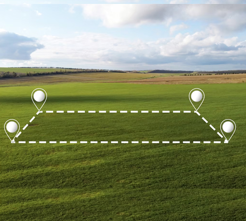
Our experts visit the site to assess the land and gather essential data for the survey.

Start Land Survey
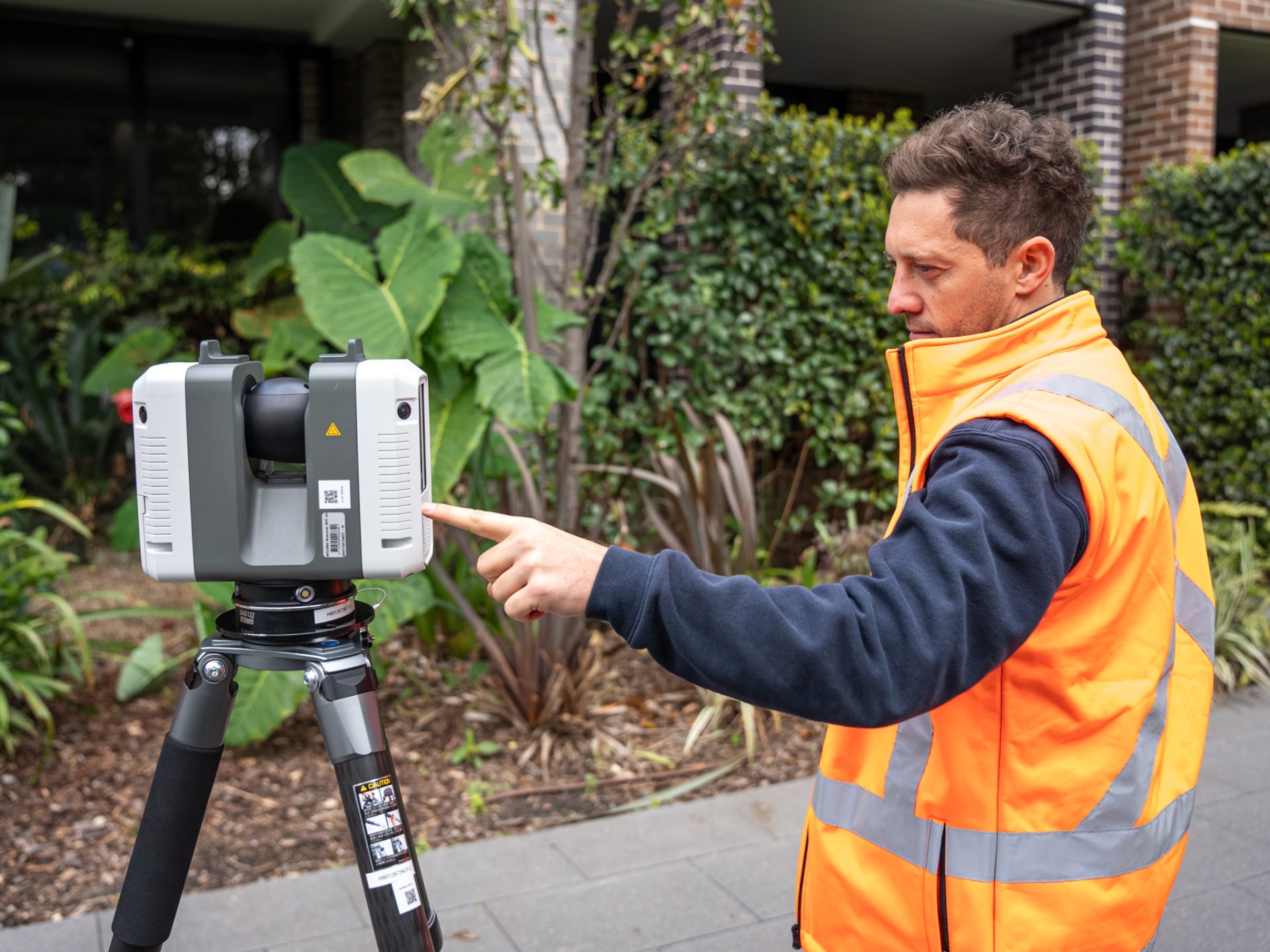
We initiate the land survey using advanced equipment to deliver accurate and reliable results.

Survey Completed
Upon completion, we provide detailed reports and documentation for your records and decision-making.


