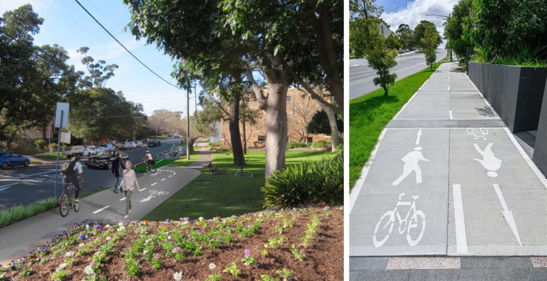
Project Overview:
Wumara Group was engaged by GHD to deliver a high-accuracy spatial survey along a 7km section of rail corridor for a proposed cycleway from Sutherland to Cronulla. The project required fast turnaround and precision data to support infrastructure planning.
Our Role:
- Deployed Mobile Laser Scanning (MLS) to capture the entire corridor in a single day
- Supplemented with Terrestrial Laser Scanning (TLS) in areas with reduced MLS access or visibility
- Delivered digital cadastre overlays and Quality Level D (QL-D) utility data for design integration
Key Outcomes:
- 7km surveyed in 1 day using MLS technology
- Delivered in under 3 weeks, meeting GHD’s accelerated timeline
- Provided high-resolution geospatial data and comprehensive deliverables to support design
Wumara Group’s agile fieldwork and advanced scanning capabilities ensured rapid, accurate results – demonstrating our capacity to meet tight deadlines without compromising on quality.