SERVICE BEYOND
BOUNDARIES
We are Experts in Terrestrial Laser Scanning Solutions
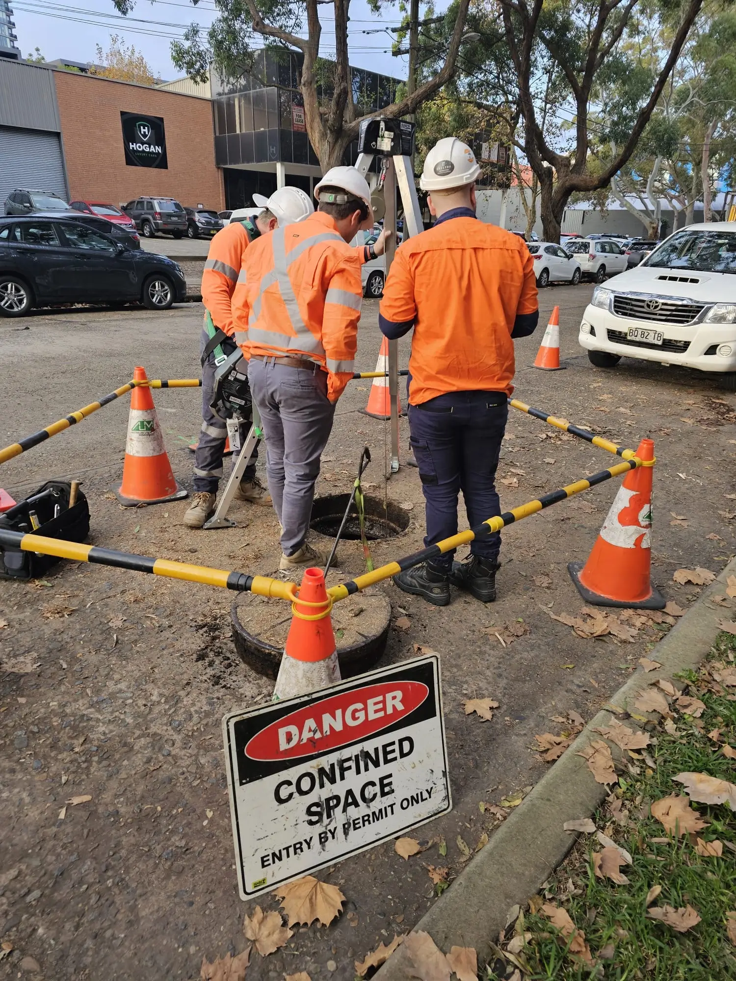
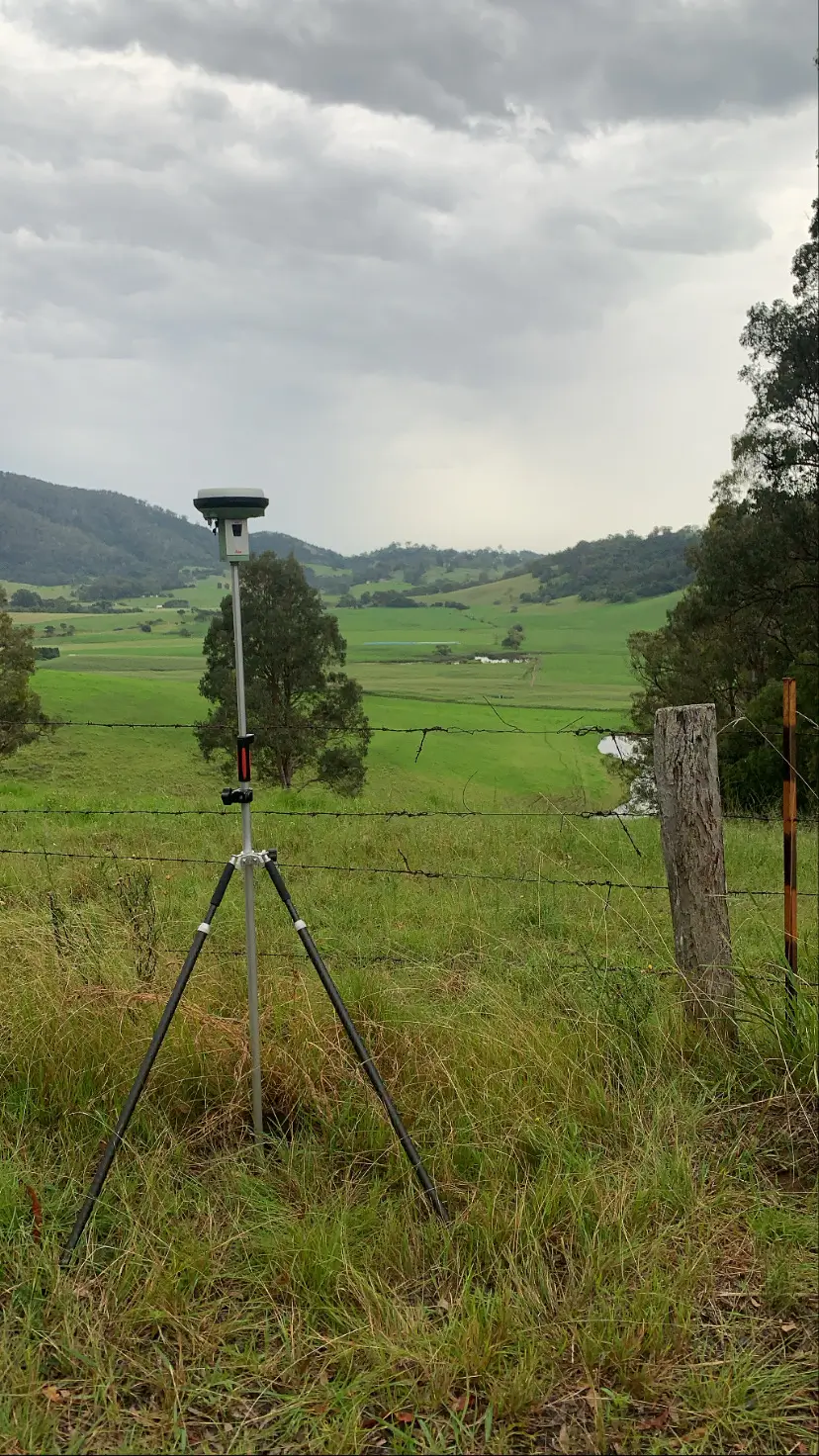
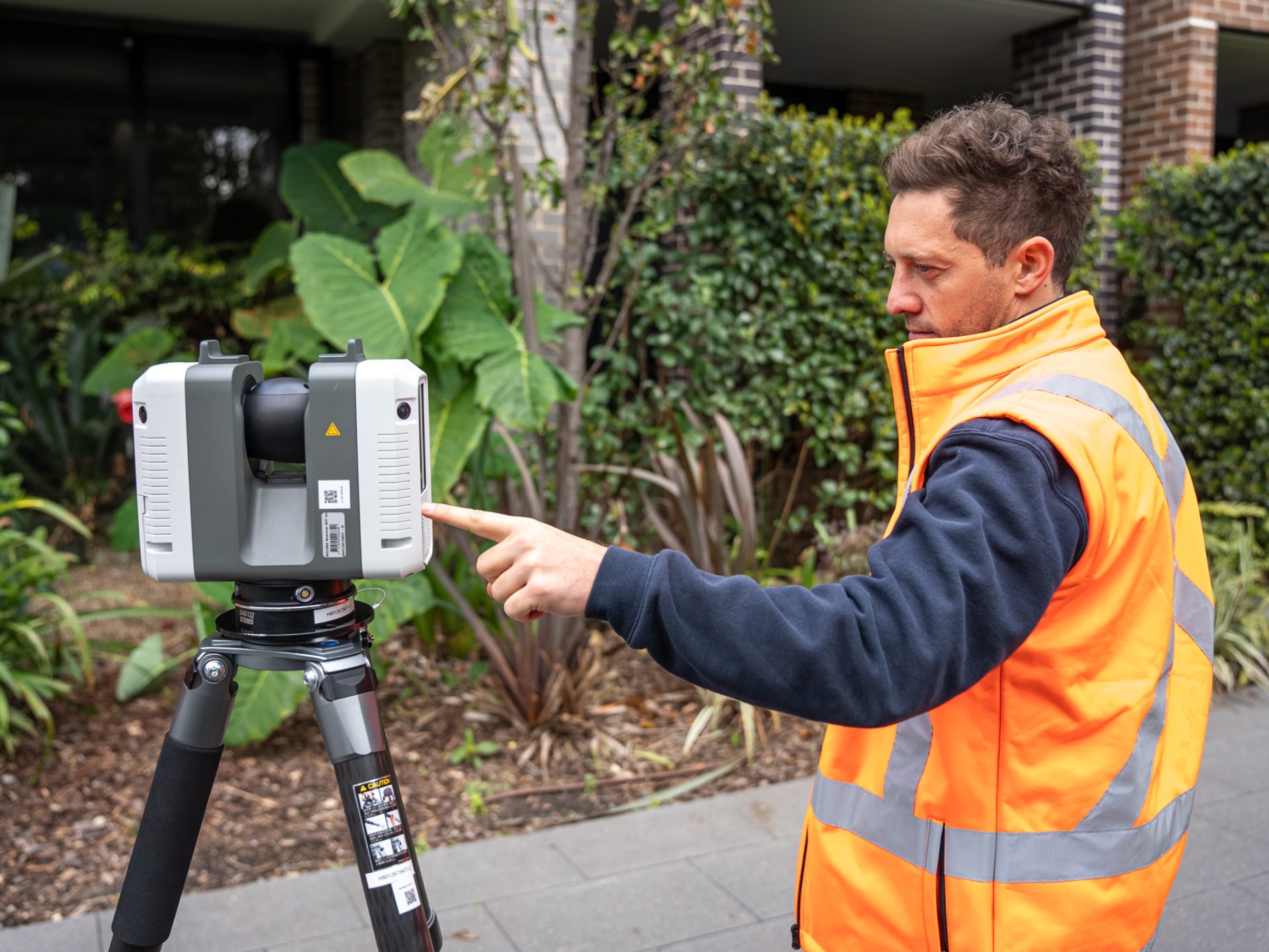
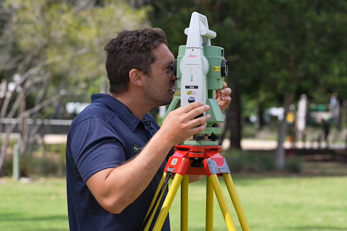
Quickly and accurately capture the data you need to make better decisions with our range of 3D terrestrial laser scanning (TLS) solutions.
Whether you need to analyse and model the as-built conditions of complex buildings, civil and mechanical facilities, mechanical assets or vehicles, we’re able to perform fit-for-purpose 3D terrestrial laser scanning for your project. Our highly experienced team are able to deploy leading-edge technology, from entry-level visualisation to mid-range architectural, high-end survey and metrology grade scanning equipment for the provision of high-quality 3D data.
Rapid data capture
Minimise safety risks
We're the experts

USES OF
TERRESTRIAL LASER SCANNING (TLS)
We deploy 3D terrestrial laser scanning to offer a range of spatial data services including:
As-built Conditions
Asset Inspection
Terrain Mapping
Dilapidation Surveys
3D Point Clouds
Engineering Assessments
Condition Assessments
Clearance and Obstruction Analysis
Colourised Site Visualisations
Feature Surveys


WHY CHOOSE WUMARA
EXPERTISE IN TERRESTRIAL LASER SCANNING
Rapid data capture
Save costs through the rapid capture of highly accurate survey data compared to traditional methods.
Minimise safety risks
Reduce workforce requirements on site and the need for multiple site visits, minimising the safety risks.
We're the experts
Get the best solution from our highly skilled and experienced team, who are pioneering laser scanning in surveying applications.
WUMARA GROUP
Explore Recent Projects

CIS
Wumara serviced the telecommunications sector effectively by providing surveying services to CI International. The Project Wumara provides lease surveys for...
Read More >>
City of Sydney Council
Wumara works across the City of Sydney LGA providing surveying and subsurface utility locating services. The Project Multiple parks and...
Read More >>
Telstra
The Project Wumara performed multiple lease surveys on telstra telecommunications assets across regional NSW. Our Solution Lease Survey
Read More >>
Ventia – NBN
Wumara serviced the telecommunications sector effectively by providing surveying services to NBN. The Project Our Solution
Read More >>
SINSW Panel
Wumara's experienced site surveyors serviced the state government by supporting School Infrastructure NSW (SINSW) on this project. The Project...
Read More >>

SINSW Panel
...Ventia – NBN
...Telstra
...City of Sydney Council
...CIS
...The Positive Impact of Working with
Wumara Group
FAQs
What is an Engineering Surveyor?
Engineering surveying involves the precise measurement and mapping of physical environments to support the planning, design, and construction of infrastructure projects. It ensures that structures are built accurately according to design specifications, aiding in the successful completion of projects like roads, bridges, and buildings.
What Services Do Wumara Group’s Engineering Surveyors Provide?
Wumara Group offers a comprehensive range of engineering surveying services, including:
- Terrestrial Laser Scanning (TLS): Capturing high-resolution 3D data for as-built conditions, asset inspections, and terrain mapping.
- Unmanned Aerial Vehicles (UAV): Providing aerial asset inspections, thermal imaging, and 3D reality mesh models for efficient spatial mapping.
- Mobile Laser Scanning (MLS): Conducting road condition assessments, tunnel surveys, and clearance analyses with rapid data collection.
- 3D Modelling and Building Information Modelling (BIM): Developing detailed digital representations of physical structures to enhance project planning and management.
How Does Engineering Surveying Differ from Other Types of Surveying?
While general surveying focuses on land boundaries and topography, engineering surveying is specifically tailored to support engineering projects. It involves detailed measurements and analyses to guide the construction and maintenance of infrastructure, ensuring structures are built accurately and safely.
What Qualifications do Engineering Surveyors Need?
In NSW, engineering survey companies must employ qualified surveyors with a diploma or degree in surveying or civil engineering. Registration with the Board of Surveying and Spatial Information is only required when performing cadastral surveys. For just engineering surveys, BOSSI registration is not mandatory.
Why Choose Wumara Group for Engineering Surveying Services?
Wumara Group stands out for its integration of advanced technologies and commitment to precision. Their use of TLS, UAV, and MLS technologies allows for efficient and accurate data collection. Additionally, as a Supply Nation certified, Indigenous-owned company, we bring a unique perspective and dedication to community engagement in our projects.
Other Engineering Services
No related Page found.