Engineering consulting
SERVICE BEYOND
BOUNDARIES
We Provide the Best Digital & Spatial Mapping Services
At Wumara Group, we are pioneers in 3D surveying, using advanced technology for precise data capture and modelling. Our digital and spatial solutions include terrestrial laser scanning (TLS), unmanned aerial vehicles (UAV), mobile laser scanning (MLS), and 3D modelling. We provide efficient data collection and detailed insights to support informed decisions across all project types.
Our team delivers high-quality services focused on increasing safety, reducing costs, and improving operations. From as-built condition analysis and asset inspections to Digital Twins, we offer tailored solutions to fit your project’s needs. Wumara Group provides comprehensive spatial data services to support your project from start to finish.
Advanced 3D data capture
Increased safety and efficiency
Tailored spatial solutions
End-to-end project support
TLS Surveying
TERRESTRIAL LASER SCANNING (TLS)
As-built Conditions
Asset Inspection
Terrain Mapping
Dilapidation Surveys
3D Point Clouds
Wumara Group uses advanced terrestrial laser scanning to provide quick and precise digital and spatial mapping solutions for as-built conditions, asset inspections, and terrain mapping. Our expert team uses cutting-edge technology, from visualisation tools to high-end survey equipment, to deliver accurate 3D data for better decision-making. This efficient method of digital mapping minimises safety risks and lowers project costs.
Aerial Mapping
UNMANNED AERIAL VEHICLES (UAV)
Aerial Asset Inspections
Thermal and NIR Imaging
Terrain Mapping
Stockpile Volume Calculations
3D Reality Mesh Models
Wumara Group employs UAV technology to offer accurate aerial geospatial mapping for surveying, inspection, and digital mapping solutions. Our fleet of rotary and fixed-wing UAVs captures photogrammetric data, LiDAR point clouds, and thermal imagery, tailored to your project’s needs. Our certified pilots ensure safe and efficient spatial mapping while reducing project risks through rapid mobilisation.
Mobile LASER SURVEYING
MOBILE LASER SCANNING (MLS)
Road Condition Assessments
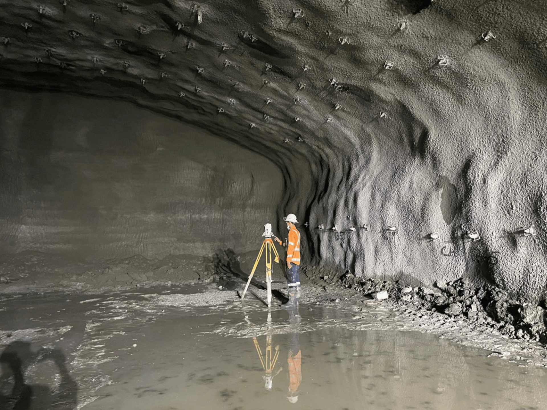
Tunnel Surveys
Asset Inspections
Feature Surveys
Clearance and Obstruction Analysis
Using mobile laser scanning Wumara Group provides fast and accurate spatial mapping solutions for road, rail, and other linear infrastructure projects. Our vehicle-mounted MLS technology captures high-resolution imagery and 3D point clouds, eliminating danger zones and ensuring efficient digital mapping over large distances. This method enables actionable insights for your project while minimising safety risks.
Digital Mapping
3D MODELLING & BIM
Scan-to-BIM
3D Model Development (Revit, CAD)
Reverse Engineering
Clash Detection
4D Modelling
Wumara Group’s 3D modelling and BIM services deliver comprehensive digital and spatial mapping for the digital transformation of your projects. From scan-to-BIM and reverse engineering to building Digital Twins, we offer precise geospatial mapping to improve collaboration, reduce errors, and manage operational risks effectively throughout the project lifecycle.