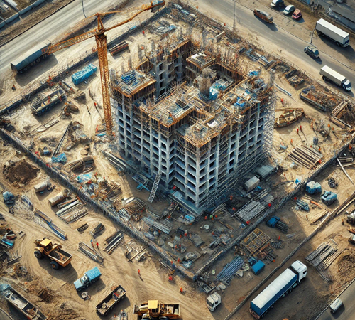
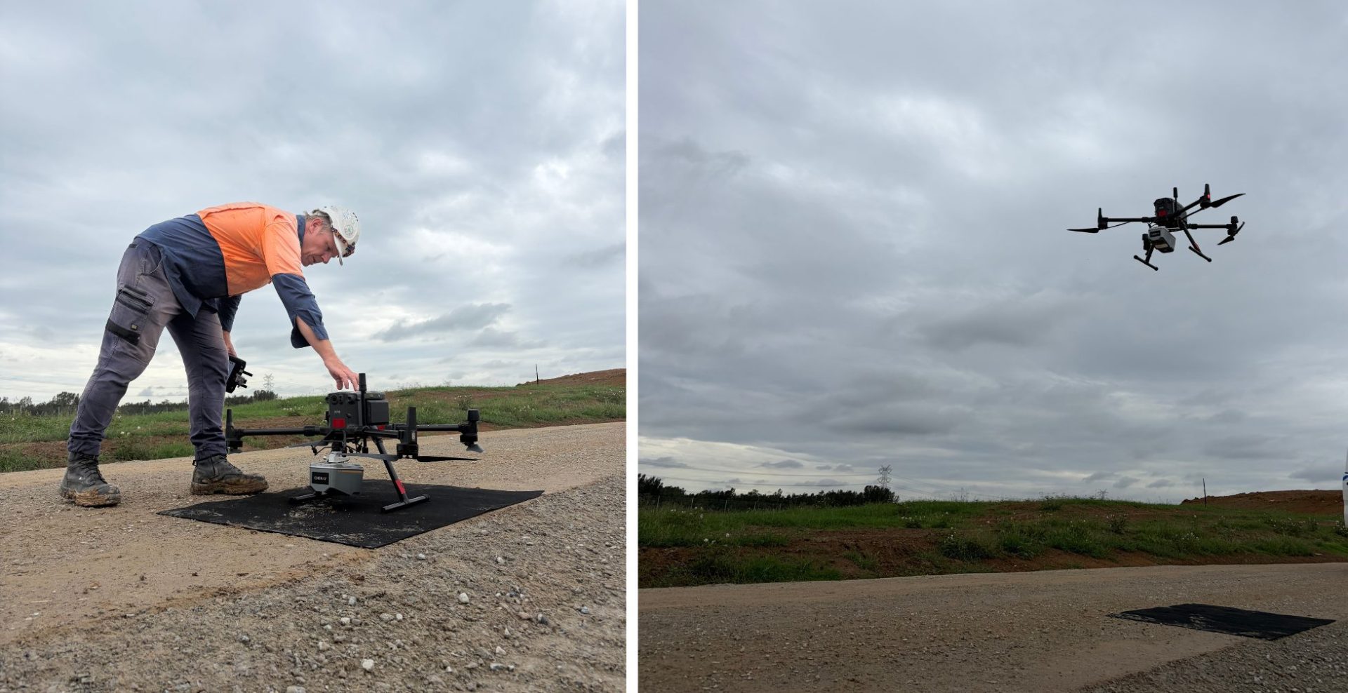
Drone Imagery & Mapping

Wumara Group Drone Imagery & Mapping
We employ drones to save money and time for our clients replacing traditional surveying techniques. We use a 3rd party cloud software for drone mapping, surveys and inspections. We create detailed 3D site models made available via your standard internet connection along with easy to use tools enabling you inspect up close, measure with confidence, and communicate with authority.
Drone Imagery & Mapping SURVEYORS DO WHAT?
Drone imagery and mapping surveyors use drones equipped with advanced cameras and sensors to capture aerial data for various surveying purposes. Our professionals gather high-resolution imagery, create detailed maps, and conduct accurate measurements, which can be used in a variety of industries.
Construction

Civil & Infrastructure
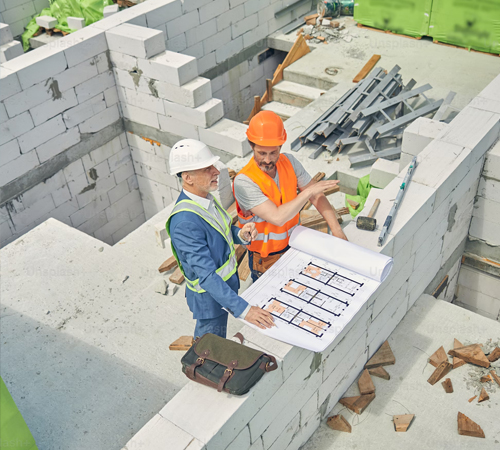
Architects & Designers

Mining

Asset Management
SERVICE BEYOND BOUNDARIES
PROJECT SHOWCASE

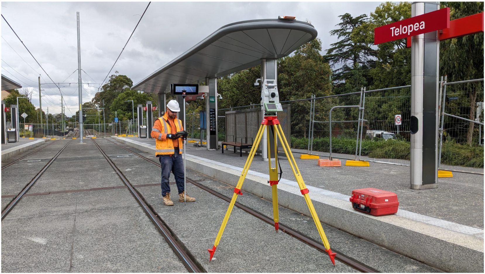
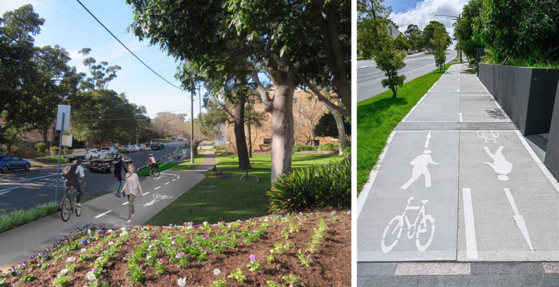
CAF – Parramatta Light Rail Stage 1
Project Overview: Wumara Group supported the delivery of Parramatta Light Rail Stage 1 through our engagement with CAF Rail Australia,...

Sydney Water – Pipeline and Reservoir Project
Project Overview: Wumara Group was engaged by CMP Consulting to provide topographic surveying and subsurface utility locating services for a...
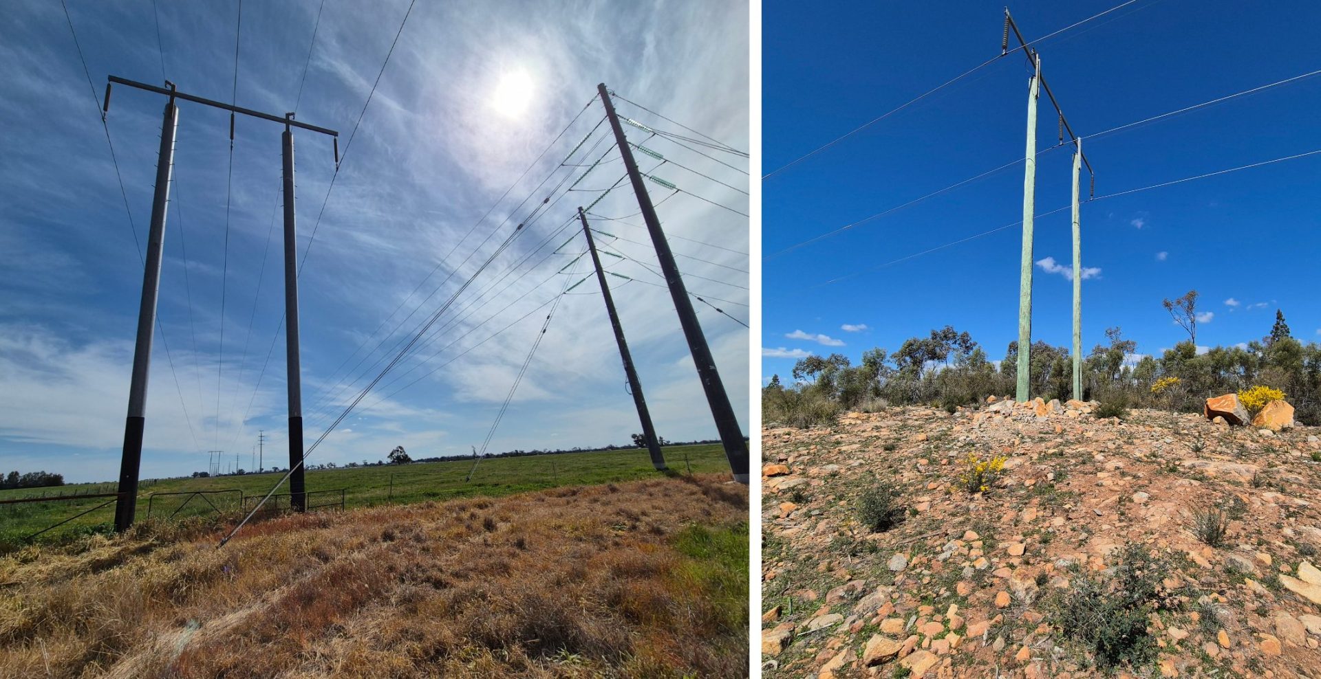
Essential Energy – Electricity Network Upgrades
Project Overview: Wumara Group has been working closely with Essential Energy, providing cadastral surveying services to support upgrades to its...
GHD – Sutherland to Cronulla Rail Corridor Survey
Project Overview: Wumara Group was engaged by GHD to deliver a high-accuracy spatial survey along a 7km section of rail...
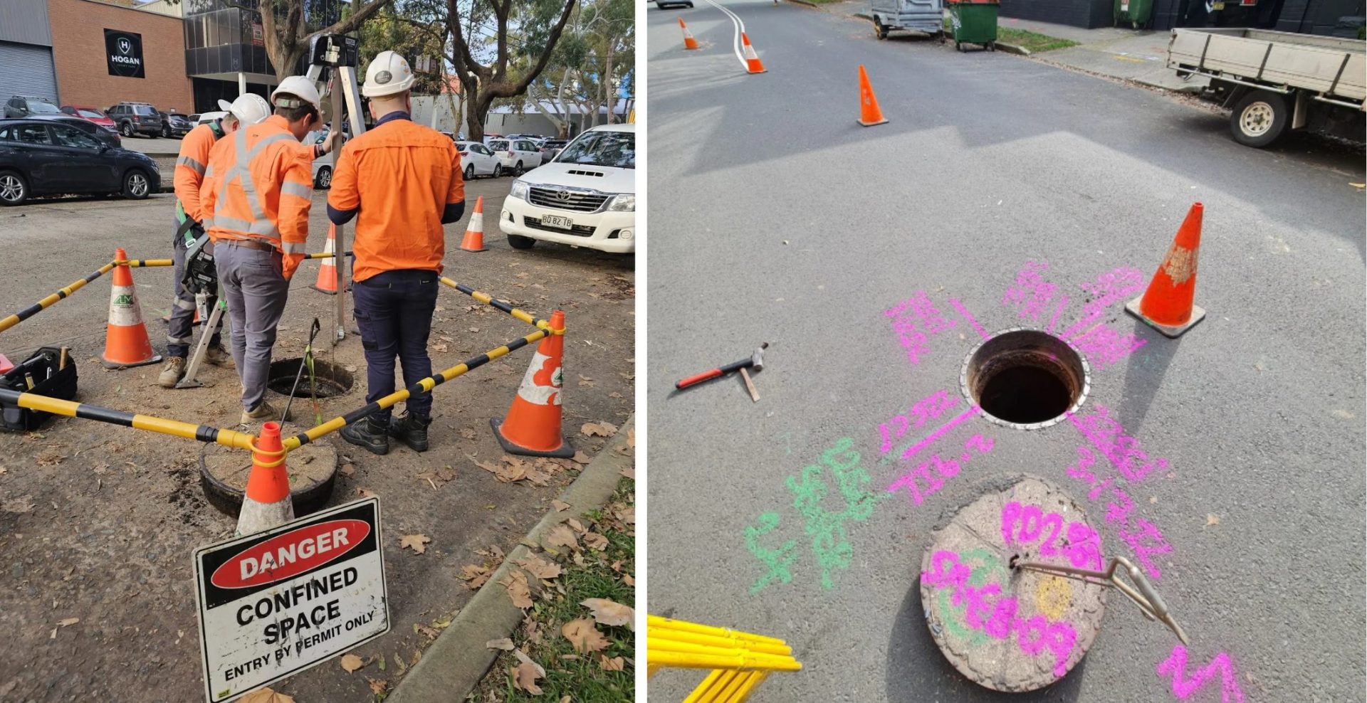
AECOM – Subsurface Surveying
Project Overview: Wumara Group collaborated with AECOM and Sydney Civil to deliver advanced subsurface surveying across multiple sites within the...
GHD – Jubilee Stadium
Project Overview: Wumara Group was part of the successful GHD-led consortium awarded the tender for the Georges River Council’s Plan...
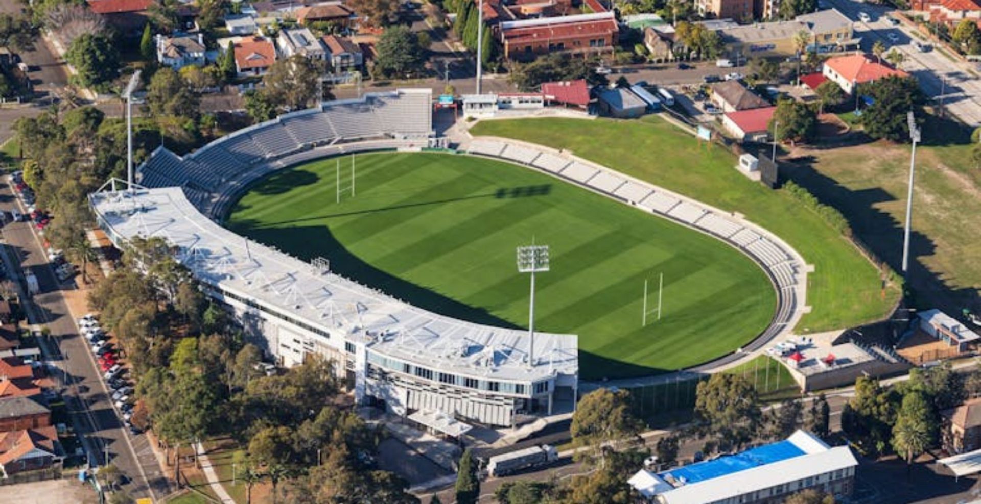
GHD – Jubilee Stadium
...AECOM – Subsurface Surveying
...GHD – Sutherland to Cronulla Rail Corridor Survey
...Essential Energy – Electricity Network Upgrades
...Sydney Water – Pipeline and Reservoir Project
...CAF – Parramatta Light Rail Stage 1
...Our Process
Four Steps to Get Our Services
We keep things simple, delivering precision and efficiency every step of the way.

Make Appointment
Schedule a consultation with our team to discuss your project requirements and timelines.

We Check The Location
Our experts visit the site to assess the land and gather essential data for the survey.

Start Land Survey
We initiate the land survey using advanced equipment to deliver accurate and reliable results.

Survey Completed
Upon completion, we provide detailed reports and documentation for your records and decision-making.
Testimonials
We Are Trusted by Clients across Australia
Hear what our satisfied clients in NSW and QLD have to say about our surveying, sub-surface utility locating, digital twin and Indigenous procurement services.
I highly recommend Wumara Group. They gave a fair price and the work provided was excellent quality. They were also really nice people with great communication skills.