SERVICE BEYOND
BOUNDARIES
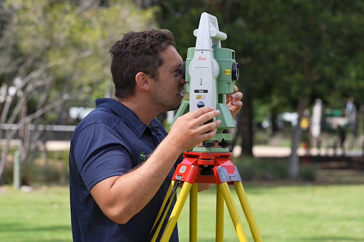
We Provide the Best Cadastral & Land Surveying Services
Wumara Group offers expert cadastral surveys, ensuring precise property boundary definitions through advanced technology and a team of registered, licensed, and experienced surveyors.
Our comprehensive approach provides clients with reliable data for informed decisions, minimising delays and ensuring full compliance with regulatory standards.
Detail & Contour surveys
Identification surveys
Boundary Identification & peg out surveys
Subdivision, Consolidation, Redefinition surveys
Strata Subdivision
Easement Surveys

Detail Survey
WHAT IS A DETAIL SURVEY?
Design & Planning
Construction and Development
Environmental and Land Management
Infrastructure and Utilities
Property Assessment and Due Diligence
Our team of registered surveyors is dedicated to delivering highly accurate detail surveys, which are essential for making informed decisions throughout every development phase, from initial planning to final construction. Our comprehensive surveys map the land meticulously, capturing all natural and built features – including elevations, vegetation, and utilities, to ensure your project is built on reliable data. Whether you require a contour and detail survey in Brisbane or Sydney, we provide dependable surveying services that help you efficiently manage your project’s complexities, reducing the risk of costly errors and delays.


Boundary Survey
WHY CHOOSE WUMARA FOR YOUR BOUNDARY SURVEYS?
Experienced & Licensed Surveyors
Advanced Surveying Technology
Thorough and Detailed Approach
Reliable and Accurate Data
Comprehensive Boundary Survey Reports
Wumara Group is a trusted leader in boundary surveys, offering precise and comprehensive solutions for property owners, developers, and legal professionals. Our experienced, licensed surveyors use advanced technology to ensure accuracy, while our thorough approach guarantees reliable data for property transactions, dispute resolution, and construction compliance. With Wumara Group, you can expect accurate results and comprehensive reports that clearly outline your property boundaries.
Identification Survey
HOW DO I FIND MY PROPERTY BOUNDARY LINE?
Facilitating property transactions
Ensuring accurate construction and development
Resolving property disputes
Supporting subdivision and land consolidation
Assisting in land use planning and zoning decisions
Wumara Group provides expert identification surveys, also known as boundary or cadastral surveys, which accurately determine property boundaries and dimensions. These surveys are crucial for property transactions, construction projects, and legal disputes, ensuring precise and reliable data through the use of advanced surveying technology and a thorough examination of records. Wumara Group’s experienced team in NSW and QLD delivers accurate results, helping clients avoid conflicts and meet regulatory requirements.


Setout Survey
WHY CHOOSE WUMARA FOR YOUR SETOUT SURVEYS?
Accuracy and Precision
Experienced Team
Compliance and Coordination
State-of-the-Art Technology
Wumara Group provides expert set out surveys, an essential service in construction to ensure architectural designs are accurately implemented on-site. Our experienced team precisely marks building elements’ location, orientation, and dimensions, ensuring compliance with plans and regulations while minimising costly errors. We also offer set out surveying for infrastructure projects, including utilities and services, ensuring accurate positioning for seamless development. With advanced technology and a focus on precision, Wumara Group delivers reliable set out survey data that supports smooth project coordination and council compliance.
Subdivision
WHAT IS A SUBDIVISION SURVEY?
A subdivision survey primarily deals with freehold subdivisions, where a property is split into two or more independent lots, each with full ownership and independent services. This traditional form of land tenure gives the owner complete control over their property.
A subdivision survey plan is essential for legally creating these new lots, ensuring they comply with zoning regulations and council requirements.


Strata Subdivision
OUR STRATA SUBDIVISION SERVICES
Expert land use advice
Full subdivision survey management
Accurate, compliant results
Custom freehold and strata solutions
A strata subdivision survey applies to properties that are subdivided under a strata title. In this type of development, multiple units share common property and services, such as driveways, pools, or communal areas, making it a cost-effective option for developers.
A strata subdivision survey plan is ideal for developments where services can be shared, reducing individual servicing costs while still offering distinct property ownership.
Easements
WHAT IS AN EASEMENT?
Wumara Group offers expert easement services as part of their cadastral survey solutions, helping to formalise the use of a portion of neighbouring property for purposes such as drainage or stormwater management. Our registered surveyors prepare a detailed plan of easement, showing the location and size of the easement, alongside the necessary 88B Instrument to outline the legal terms between the involved parties. This ensures compliance and legalisation when using another person’s land for essential infrastructure.


Redefinition
GET A PLAN OF REDEFINITION
Wumara Group specialises in providing boundary redefinition surveys as part of our comprehensive cadastral survey services. A plan of redefinition is essential for redefining the boundaries of a parcel of land and serves as the base plan for any new strata plan. It is a requirement by Land Registry Services to ensure that the newly defined boundaries comply with legal and zoning regulations.
Our experienced surveyors offer accurate and reliable redefinition surveys, ensuring precise boundary adjustments that support seamless strata registration and compliance with all legal requirements.
WUMARA GROUP
Explore Recent Projects

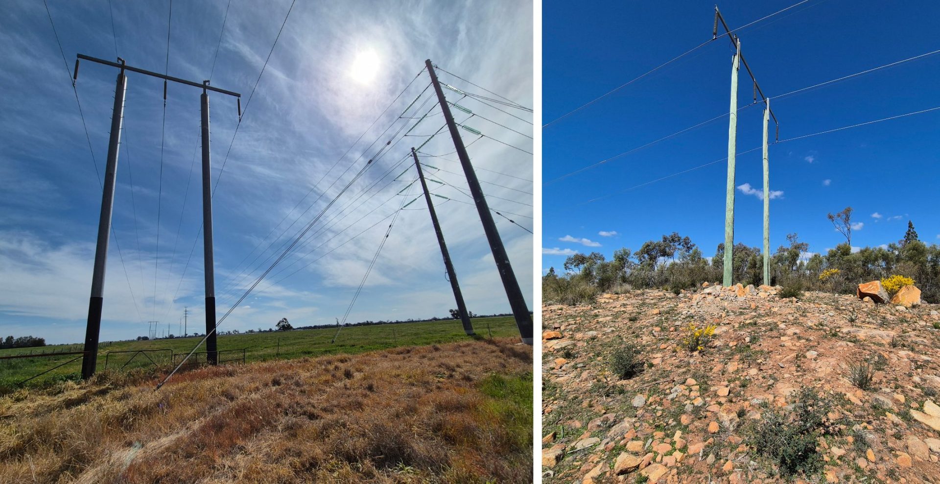
Essential Energy – Electricity Network Upgrades
Project Overview: Wumara Group has been working closely with Essential Energy, providing cadastral surveying services to support upgrades to its...
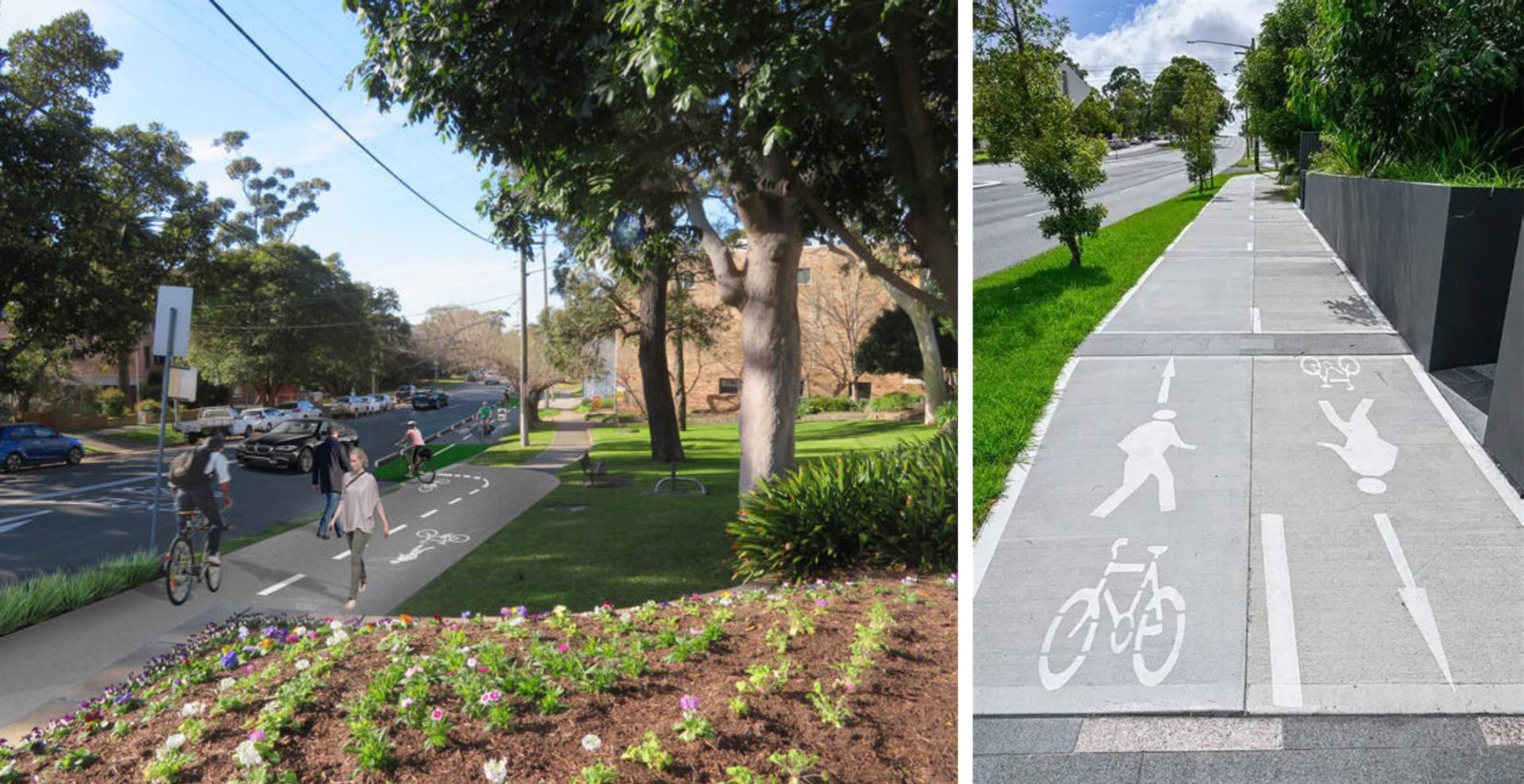
Read More >>GHD – Sutherland to Cronulla Rail Corridor Survey
Project Overview: Wumara Group was engaged by GHD to deliver a high-accuracy spatial survey along a 7km section of rail...
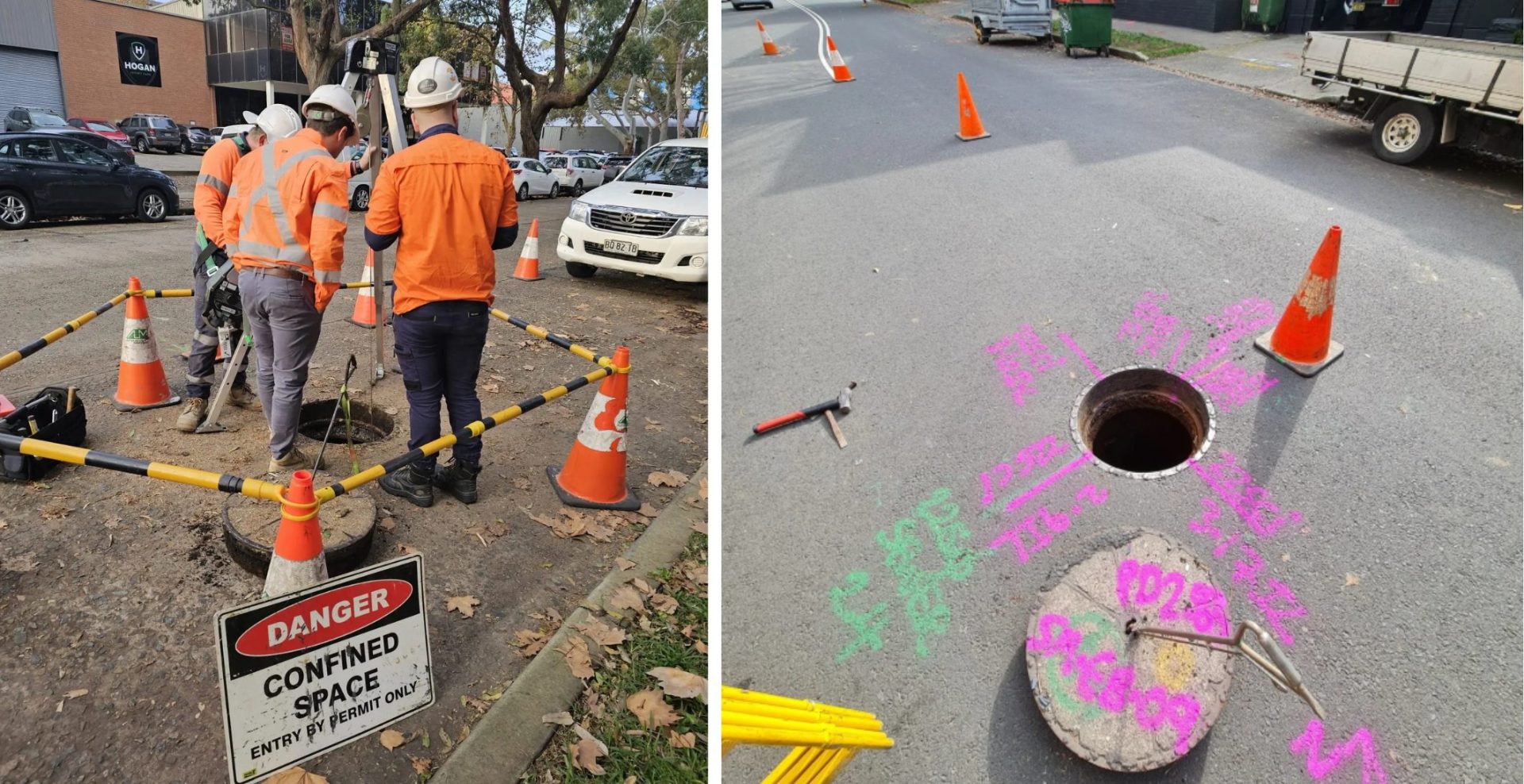
Read More >>AECOM – Subsurface Surveying
Project Overview: Wumara Group collaborated with AECOM and Sydney Civil to deliver advanced subsurface surveying across multiple sites within the...
Read More >>GHD – Jubilee Stadium
Project Overview: Wumara Group was part of the successful GHD-led consortium awarded the tender for the Georges River Council’s Plan...
Read More >>
CIS
Wumara serviced the telecommunications sector effectively by providing surveying services to CI International. The Project Wumara provides lease surveys for...
Read More >>
Telstra
The Project Wumara performed multiple lease surveys on telstra telecommunications assets across regional NSW. Our Solution Lease Survey
Read More >>
SINSW Panel
Wumara's experienced site surveyors serviced the state government by supporting School Infrastructure NSW (SINSW) on this project. The Project...
Read More >>


SINSW Panel
...Telstra
...CIS
...GHD – Jubilee Stadium
...AECOM – Subsurface Surveying
...GHD – Sutherland to Cronulla Rail Corridor Survey
...Essential Energy – Electricity Network Upgrades
...The Positive Impact of Working with
Wumara Group
FAQs
What Is a Cadastral Survey?
A cadastral survey is a detailed measurement and mapping of land parcels to define property boundaries legally. Conducted by licensed surveyors, these surveys establish or re-establish property lines, ensuring accurate land ownership records and compliance with legal standards.
When Do I Need a Cadastral Surveyor?
You may require a cadastral surveyor when
- Subdividing or consolidating land parcels
- Resolving boundary disputes
- Preparing for property development or construction
- Establishing easements or rights of way
- Confirming property boundaries for legal documentation
These surveys provide the legal certainty needed for property transactions and development projects.
What Services Are Included in a Cadastral Survey?
Wumara Group’s cadastral surveying services encompass:
- Boundary identification and peg-out surveys
- Subdivision, consolidation, and redefinition surveys
- Strata subdivision and easement surveys
- Detail and contour surveys for planning and development
These services ensure precise boundary definitions and compliance with regulatory requirements.
What is the Difference Between a Contour Survey, Boundary Survey, and a Detail Survey?
A contour survey maps the natural surface levels of a property, showing elevation changes through contour lines. It’s essential for planning drainage, earthworks, and any other infrastructure being built on sloped land.
A boundary survey determines the exact legal property lines and corner positions. It is used to confirm land ownership, resolve disputes, and ensure construction stays within legal boundaries.
A detail survey (also known as a feature survey) includes both contour and visible features, such as buildings, fences, trees, utilities, and roads. It provides a comprehensive site map used for development and planning.
Who Can Perform a Cadastral Survey in Australia?
Only registered or licensed surveyors are legally authorised to conduct cadastral surveys in Australia. These professionals are regulated by state surveying boards and must adhere to strict standards to ensure the accuracy and legality of property boundary determinations. You can check whether a cadastral surveying service is registered by searching for them on government websites such as the NSW BOSSI (Board of Surveying and Spatial Information) website